
Entertainment
Furious Tropical Storm Set To Pound US Coast For First Time In 100 Years: ‘Major Hurricane’
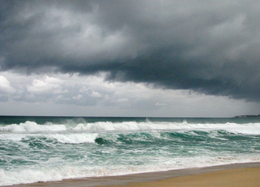
Tropical Storm Karina is rapidly strengthening in the eastern Pacific and could become a hurricane over the weekend, but the latest official forecasts stop short of predicting a direct hit on California.
The storm was packing maximum sustained winds of about 50 mph early Friday while moving northwest over open water well south-southwest of the Baja California Peninsula.
The National Hurricane Center said additional strengthening is expected as Karina moves across warm Pacific waters, with the system forecast to become a hurricane over the weekend.
Karina was centered more than 800 miles from the southern tip of Baja California early Friday and moving northwest at roughly 13 mph.
Forecast models have drawn intense attention because some longer-range scenarios have shown the storm bending toward the West Coast, raising the possibility of an extremely rare tropical impact in California.
But those projections remain highly uncertain.
The National Weather Service in San Diego said Friday morning that Karina is currently forecast to remain well south of Southern California.
Forecasters said moisture from the system could still be pulled north early next week, potentially bringing increased cloud cover and a 20% to 30% chance of light precipitation to parts of the region.
That is a far different scenario from a direct hurricane strike.
JUST IN: Tropical Storm Karina could become monster Category 3 hurricane as TWO major models suddenly show ominous path to California
The National Hurricane Center (NHC) revealed that Karina, which currently has sustained winds of more than 50 mph, is expected to reach hurricane… pic.twitter.com/CjVU8LePAN
— SANTINO (@TheRealSantino) August 28, 2026
Long-range spaghetti models often display dozens of possible tracks, and meteorologists caution that individual projections can swing dramatically several days in advance.
The farther those lines spread apart, the lower the confidence in exactly where a storm will ultimately go.
Karina is expected to move generally west-northwest over the next several days, according to the National Hurricane Center.
Swells generated by the storm are expected to begin affecting portions of southwestern Mexico and the Baja California Peninsula this weekend.
Forecasters warned that those waves could produce life-threatening surf and rip-current conditions.
California rarely experiences direct tropical cyclone landfalls because cold Pacific waters and prevailing atmospheric patterns typically weaken storms before they can reach the state.
No hurricane has made a confirmed landfall in California in the modern historical record.
The most famous exception came in 1939, when a tropical storm struck near Long Beach and caused widespread flooding and dozens of deaths across Southern California.
More recently, the remnants of Hurricane Hilary brought heavy rain and flooding to Southern California in 2023 after weakening before reaching the state.
Hurricane Nora also crossed into the United States from Mexico in 1997 as a weakening tropical system and brought significant rain to parts of California and the Southwest.
Those rare events are why any Pacific system turning toward California immediately draws outsized attention.
Karina’s current path, however, remains offshore and well south of the state.
The biggest near-term threat is to waters near Baja California and southwest Mexico, where dangerous surf and rough seas are expected as the storm intensifies.
Residents along the West Coast will still want to watch future updates closely because tropical forecasts can change as steering currents evolve.
For now, the official forecast calls for Karina to strengthen over the Pacific while remaining south of California, rather than delivering the historic direct strike suggested by some early computer-model scenarios.
POLL: Ilhan Omar Now Claims She’s Broke – Do You Believe Her?
