
Politics
Tropical Storm Strengthens As Dangerous Landfall Nears
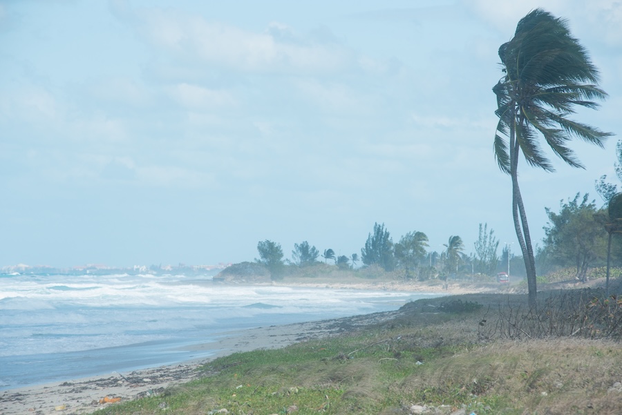
Tropical Storm Edouard continued to gain strength Tuesday as the compact system raced toward the Texas-Louisiana border, threatening coastal communities with powerful winds, torrential rain and dangerous flooding.
Forecasters said the storm could approach hurricane strength before moving ashore along the Upper Texas Coast or southwestern Louisiana early Tuesday afternoon. Hurricane status begins when a tropical cyclone produces sustained winds of at least 74 mph.
Edouard was located roughly 30 miles south of Cameron, Louisiana, during the late morning hours. The storm was carrying maximum sustained winds of 50 mph while traveling northwest at approximately 8 mph. Aircraft dispatched into the system found evidence that Edouard was strengthening as it approached land.
The system developed rapidly after being designated Potential Tropical Cyclone Five on Monday. It strengthened into a tropical depression and then became a named storm Monday night, leaving residents and emergency officials with little time to prepare for its arrival.
The National Hurricane Center said continued intensification was expected before the center crossed the coastline. Edouard’s small size could limit the reach of its strongest winds, but officials warned that severe conditions could still strike areas near and east of where the center makes landfall. Tropical-storm-force winds extended up to approximately 25 miles from the center.
WATCH:
Tropical Storm Edouard is closing in on the Texas-Louisiana coast. Meteorologist Jim Cantore breaks down the latest data and what to watch for ⬇️ pic.twitter.com/KSOQ4zMiJD
— The Weather Channel (@weatherchannel) September 1, 2026
A hurricane watch was issued from High Island, Texas, to Cameron, Louisiana. A tropical storm warning covered a wider portion of the coastline, including areas stretching from Port Bolivar, Texas, to the Vermilion-Iberia Parish line in Louisiana. Residents were urged to complete preparations and closely follow instructions from local authorities.
Storm surge remained one of the most serious concerns. Water levels could rise between three and five feet above normally dry ground in portions of the coastline near the Texas-Louisiana border if the worst surge arrives during high tide. A storm surge warning was placed in effect from High Island to the Vermilion-Cameron Parish line.
Heavy rainfall could create an even broader threat after the storm moves inland. Forecasters projected rainfall totals of three to six inches across the Upper Texas Coast and portions of east-central Texas through Wednesday. Isolated locations could receive as much as nine inches, increasing the danger of flash flooding in urban and low-lying communities.
Tropical Storm #Edouard is slowly getting better organized, but it’s also running out of time (thankfully). Another 24 hours with these conditions and it could have been even more trouble. With that said, you’ll notice right now I sampled a small area of 68 mph wind at ~4,300… pic.twitter.com/P1SpUPtdcz
— Matt Devitt (@MattDevittWX) September 1, 2026
Southwestern Louisiana could receive two to four inches of rain. Forecasters also warned that rainfall rates could become intense inside the storm’s strongest bands, potentially overwhelming drainage systems and making roads impassable within a short period.
Texas Gov. Greg Abbott said flooding was expected to be the state’s primary concern. The governor and emergency officials said state resources were ready to respond as conditions deteriorated. Flood watches were posted for Houston, Galveston, Beaumont and surrounding communities.
“This is our first big storm of the season, and I’ll tell you, Texas is prepared,” Orlando Alanis of the Texas Division of Emergency Management said during a news conference, according to the Associated Press.
The storm also prompted preparations at major energy facilities along the coast. Motiva and Exxon Mobil secured equipment at their Port Arthur and Beaumont refineries in advance of possible high winds and flooding. The facilities continued operating normally as of Monday, while liquefied natural gas operators also monitored Edouard’s path, Reuters reported.
A tornado or two could develop Tuesday afternoon as Edouard’s outer bands move across Southeast Texas and southwestern Louisiana. Officials warned residents not to focus exclusively on the exact forecast track because hazardous rain, surge and winds can occur away from the storm’s center.
Edouard is expected to weaken quickly once it crosses the coastline, though heavy rain could continue well after its winds diminish. Forecasters urged anyone in the affected region to avoid flooded roads and remain prepared for rapidly changing conditions.
