
Politics
National Weather Service Warns Millions As Hurricane Trackers Eye New Storm
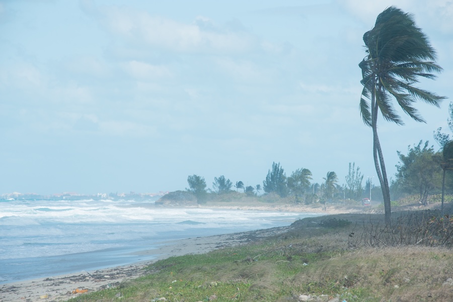
Flood-weary communities across the Southeast could face another soaking this weekend as a disturbance in the Gulf threatens to develop into Tropical Storm Isaias.
The National Hurricane Center gave the system a 70% chance of becoming a tropical cyclone within seven days in its Monday morning outlook. Forecasters are watching a cluster of showers and thunderstorms in the Bay of Campeche in the southwestern Gulf, with development possible during the middle or latter part of the week.
AccuWeather expects the system to head toward the central Gulf Coast, potentially reaching land this weekend. Louisiana, Mississippi, Alabama and the Florida Panhandle could face some of the heaviest rain.
The threat comes as an earlier round of downpours leaves parts of the region vulnerable to renewed flooding.
National Weather Service flood watches covered portions of Florida, southern Alabama and Georgia on Monday, with several remaining in effect through the evening. Forecasters in Tallahassee called for another 2 to 4 inches of rain across much of their forecast area, with localized amounts reaching 6 inches.
For some communities, the next storm could arrive before the ground has a chance to dry out.
AccuWeather warned that parts of the Southeast could receive as much as 14 inches of rain this weekend. Flooding could develop even if the Gulf disturbance fails to become a named storm.
Moisture is expected to spread north into the Ohio Valley, central Appalachians and Mid-Atlantic, bringing additional downpours and potential travel disruptions.
POLL: Is Melania Trump One Of The Best First Ladies In American History?
The developing system’s track remains uncertain. AccuWeather considers a turn toward the central Gulf Coast the most likely outcome, though a track into Mexico remains possible.
Boaters along the Florida coast also faced a more immediate threat Monday as thunderstorms raised the risk of waterspouts.
“Thunderstorms can produce sudden waterspouts. Waterspouts can easily overturn boats and create locally hazardous seas. Seek safe harbor immediately,” the weather service warned.
Warm Gulf waters could help the disturbance organize, but stronger winds higher in the atmosphere may prevent it from gaining much strength.
RELATED: Evacuations Begin As ‘Blockbuster’ Storm Smashes East Coast
“The waters across the Gulf of America are very warm, but stronger wind shear farther north across the Gulf may limit development potential,” AccuWeather senior meteorologist Dan Pydynowski said.
AccuWeather lead hurricane meteorologist Alex DaSilva put the chance of the system becoming a hurricane at about 15%.
If it reaches tropical storm strength, it would take the name Isaias. AccuWeather said it would be the first Atlantic-basin tropical system to bring impacts to the contiguous United States since Edouard made landfall Sept. 1.
The Atlantic basin has produced eight named storms this season but no hurricanes, according to AccuWeather.
Strengthening El Niño conditions have helped suppress activity by increasing wind shear, which can disrupt a tropical system’s circulation. El Niño involves unusually warm surface waters in the equatorial Pacific and can alter weather patterns around the world.
The current event, described as a “super El Niño,” could become one of the strongest on record later this year.
For the Gulf Coast, the immediate concern is how much rain falls on already soaked ground, regardless of whether the approaching system earns a name.
